IMD Rain Alerts Keep Uttar Pradesh Uttarakhand And Central India On Post-Monsoon Watch
The India Meteorological Department's latest warning cycle has kept parts of north and central India on alert after a depression over northeast Madhya...
The India Meteorological Department's latest warning cycle has kept parts of north and central India on alert after a depression over northeast Madhya Pradesh and adjoining north Chhattisgarh brought heavy-rain risk into the final stretch of September. IMD's public warning page flagged heavy to very heavy rainfall risks around Uttarakhand, Uttar Pradesh and nearby regions during the September 26-27 window, while subdivision warnings for the days ahead continued to show where local authorities and residents need to keep watch.
This is the point in the season when weather language can become confusing. The southwest monsoon may be retreating from some regions while local systems still produce intense rain elsewhere. A late-September depression can create short, sharp risk: flooded roads, disrupted buses and trains, field damage, school advisories, lightning danger and pressure on district disaster-response teams. The national map matters, but local warnings matter more.
For Uttarakhand and hill districts, heavy rain is not only about rainfall totals. Saturated slopes, narrow roads, river catchments and landslide-prone stretches can turn a warning into a transport and safety issue quickly. In Uttar Pradesh, the concerns are different: low-lying urban areas, rural roads, local drainage, crop damage and lightning exposure for people working outdoors. In central India, the same system can affect river flows and agricultural timing even after the most intense rain has moved away.
The public should read IMD colour and symbol warnings as prompts for local checking rather than as a single national instruction. A district under a thunderstorm and lightning warning needs different preparation from a district under a heavy-rain alert. Farmers may need to protect harvested produce, delay field operations or watch advisories from agriculture departments. Commuters should avoid flooded underpasses and check road updates before long trips. Schools and local bodies should communicate early if conditions make travel unsafe.
The warning cycle also matters economically. Late-season heavy rain can help water storage in some places, but it can also damage standing crops, delay logistics and add to food-price uncertainty. That is why weather remains connected to inflation, rural demand and supply chains even when the immediate public focus is on traffic and safety.
For the next few days, residents in affected regions should use official IMD forecasts, state disaster-management updates and district advisories rather than relying on viral weather messages. The practical checklist is simple: charge phones, keep emergency contacts ready, avoid crossing fast-moving water, check school and transport notices, and give extra time for travel. The post-monsoon calendar may be turning, but the risk of local heavy rain has not disappeared.
Related Stories
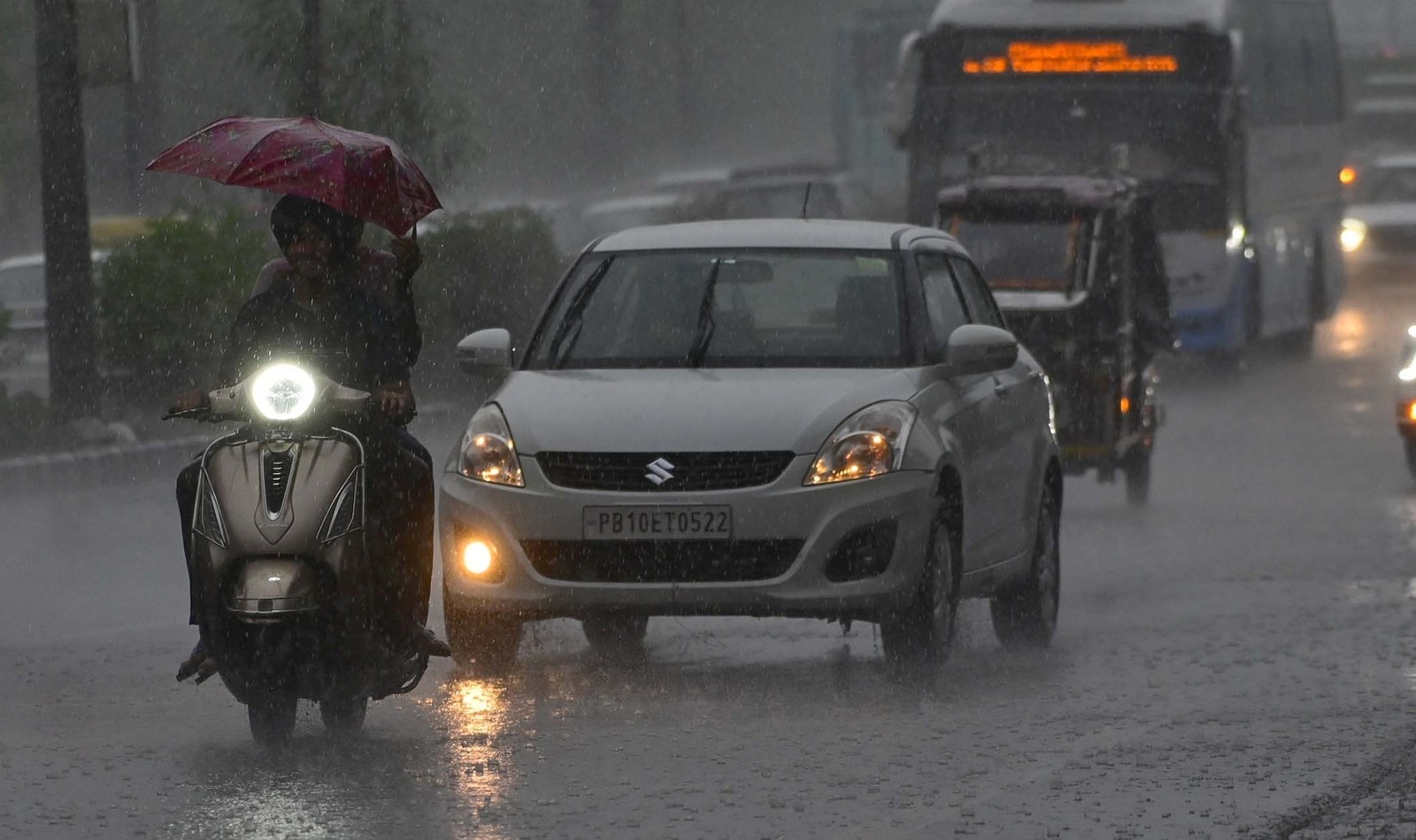
Delhi's Red-Alert Rain Turns A Weather Break Into A Commute Stress Test
Heavy rain, thunderstorms and an IMD red alert brought cooler air but also waterlogging and morning traffic risk across the National Capital Region.
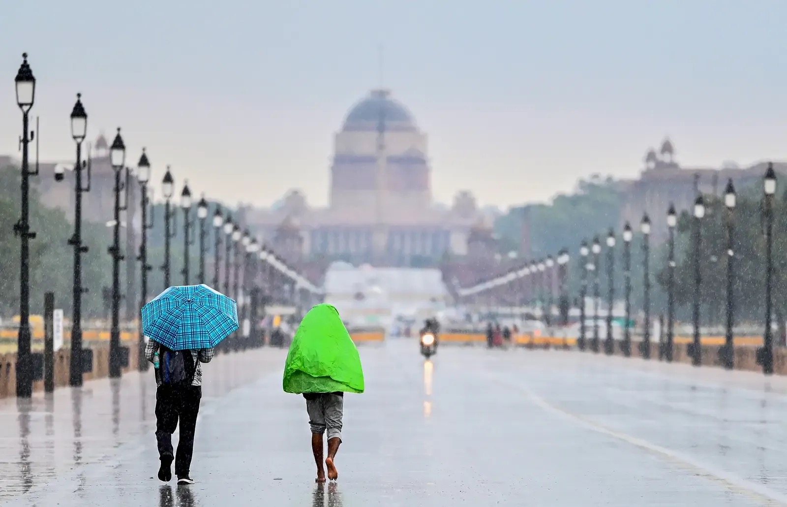
Delhi's Weekend Rain Window Comes With A Dust-Control Warning
Rain, thunderstorms and winds up to 50 kmph may give Delhi-NCR temporary relief, but high minimum temperatures and construction dust keep the air-quality risk alive.
Delhi's Partly Cloudy Forecast Keeps The AQI Watch In Place
IMD's local forecast for New Delhi-Safdarjung shows partly cloudy skies on October 8 after the scattered-rain window, with temperatures expected around 34 and 22 degrees Celsius.