IMD Warning Map Keeps Late September Rain Risk On The Public Dashboard
The India Meteorological Department's subdivision warning page has kept late-September rain risk on the public dashboard, with heavy-rain and thunderstorm...

The India Meteorological Department's subdivision warning page has kept late-September rain risk on the public dashboard, with heavy-rain and thunderstorm symbols still active across parts of the country. The warning cycle covers September 28 onward, a reminder that the end of the monsoon calendar does not mean the end of local disruption.
The IMD page listed a depression over northeast Madhya Pradesh and adjoining north Chhattisgarh among the current weather drivers, while its map and warning legend showed heavy rain, thunderstorm and strong-wind categories. In the visible warning data, heavy-rain signals appeared for areas including Andaman and Nicobar Islands, Haryana, Chandigarh and Delhi, Punjab, Himachal Pradesh, Jammu and Kashmir and Ladakh, and Tamil Nadu and Puducherry.
The practical impact varies by region. In the hills, heavy rain can mean landslide risk, blocked roads and difficult school or commuter travel. In northern plains and urban areas, the concern is waterlogging, traffic delays and lightning exposure. In coastal and island areas, travel, small craft activity and local services can all be affected even when rainfall totals look modest on a national map.
Weather warnings are also an economic signal. Late rain can help some reservoirs and soil moisture, but it can also delay field operations, affect harvested produce and disrupt logistics. For households, the message is simpler: official local warnings are more reliable than viral screenshots or recycled social media alerts.
The safest approach is to treat IMD colour codes and symbols as triggers for local checking. Residents should monitor district advisories, avoid flooded underpasses, stay away from fast-moving water and plan extra time for travel. Farmers and outdoor workers should watch lightning advisories and protect exposed produce or equipment where possible.
The broader lesson is that post-monsoon risk is uneven. One city may have a quiet day while another subdivision deals with intense local rain. That is why the subdivision map matters: it brings the forecast down from a national headline to the places where people actually need to decide whether to travel, work outside or prepare for a wet night.
Related Stories
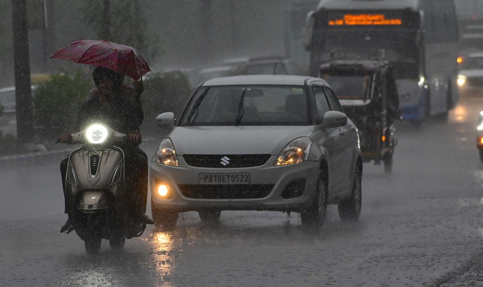
Delhi's Red-Alert Rain Turns A Weather Break Into A Commute Stress Test
Heavy rain, thunderstorms and an IMD red alert brought cooler air but also waterlogging and morning traffic risk across the National Capital Region.
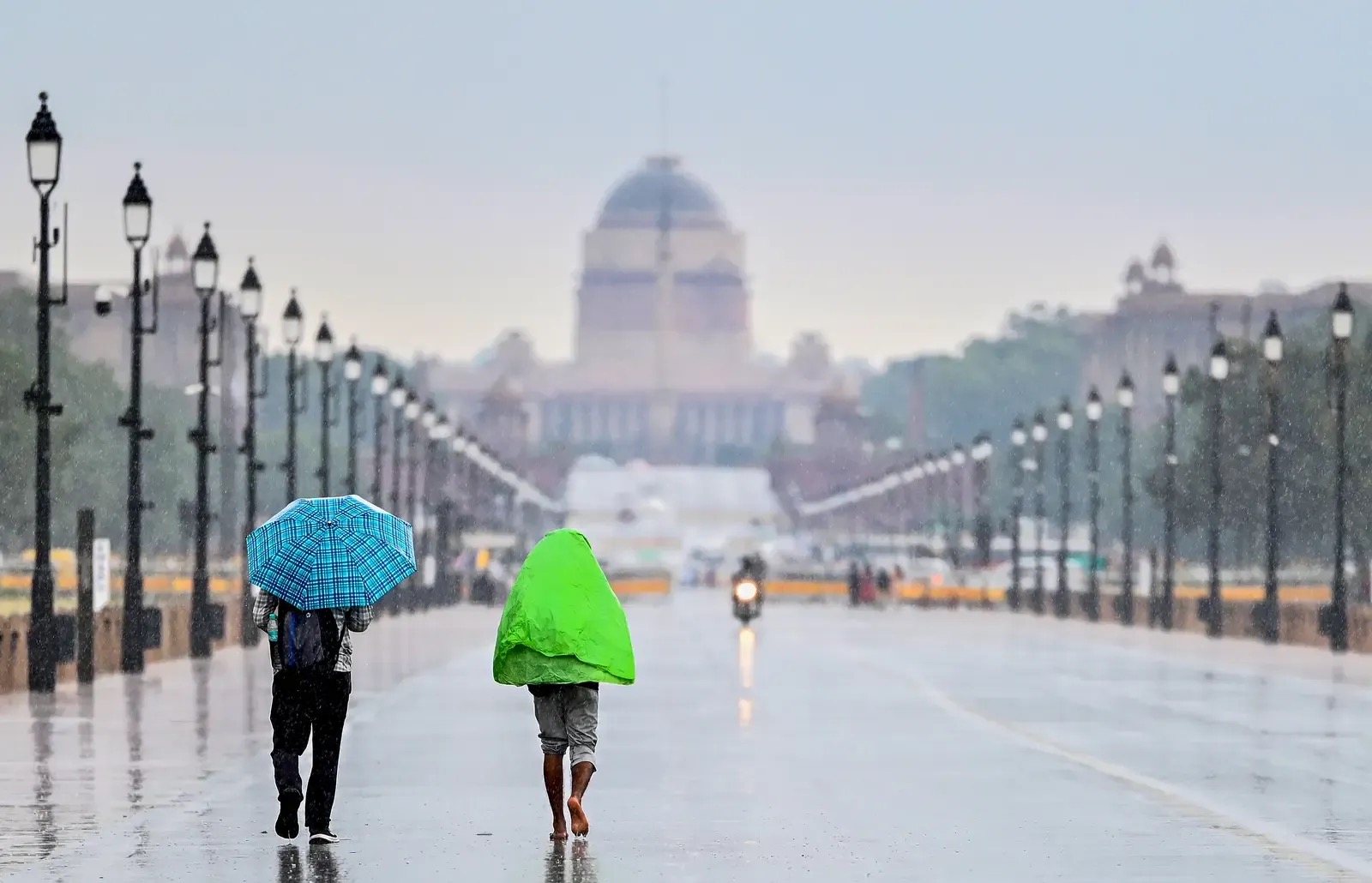
Delhi's Weekend Rain Window Comes With A Dust-Control Warning
Rain, thunderstorms and winds up to 50 kmph may give Delhi-NCR temporary relief, but high minimum temperatures and construction dust keep the air-quality risk alive.
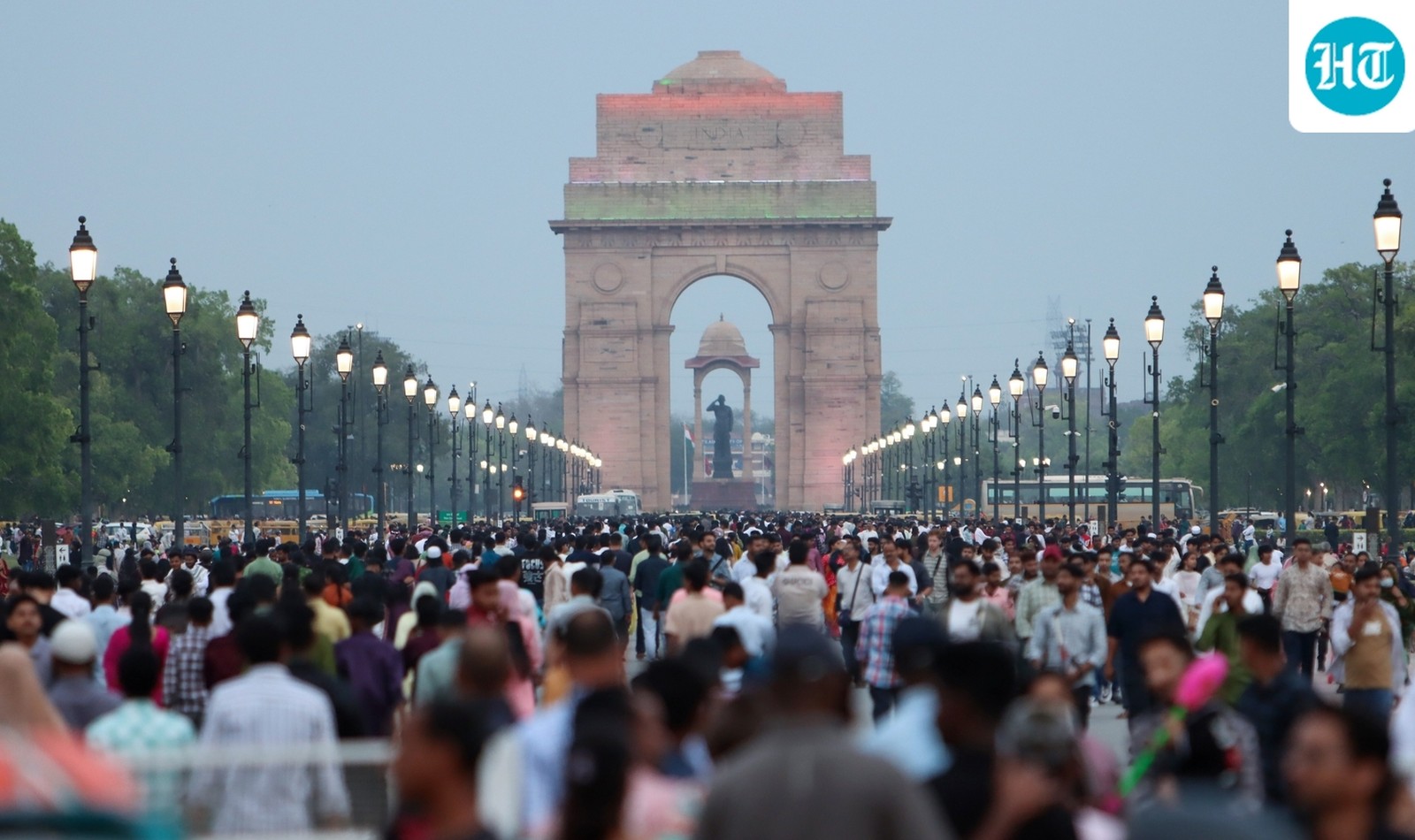
Delhi's Partly Cloudy Forecast Keeps The AQI Watch In Place
IMD's local forecast for New Delhi-Safdarjung shows partly cloudy skies on October 8 after the scattered-rain window, with temperatures expected around 34 and 22 degrees Celsius.